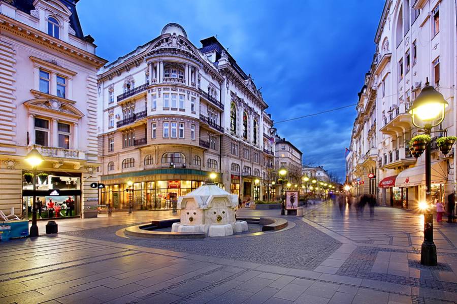
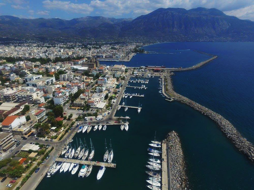
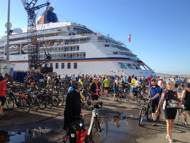
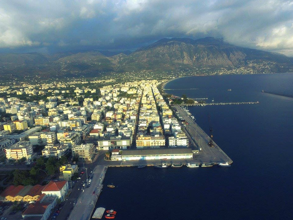
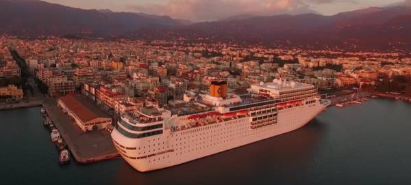
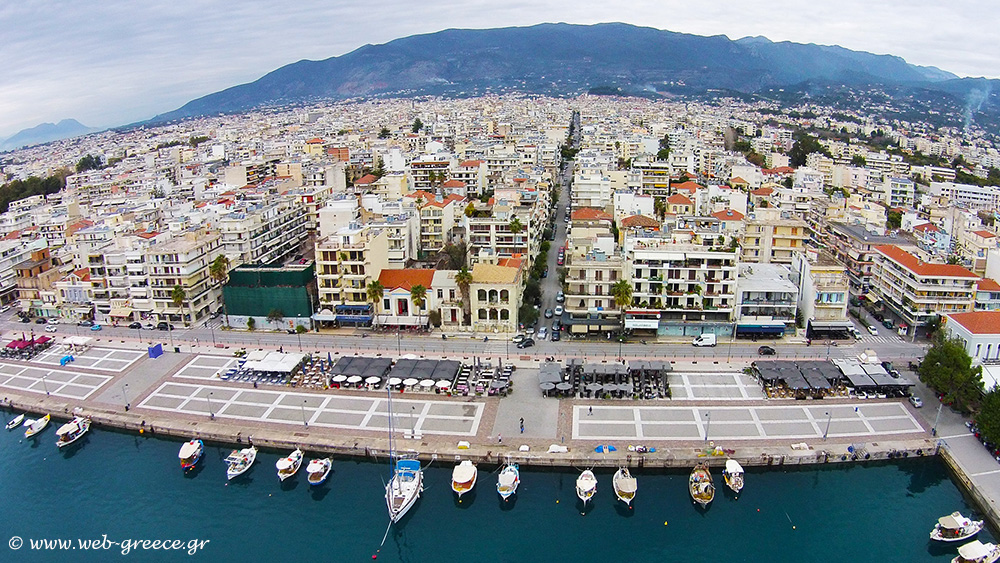
The harbor of Kalamata has a key geographic location and is a timeless source of life for the city.
The geopolitical position of its port is of major importance because it is the southernmost tip of mainland Greece and the EU and is the end of the Trans-European Inland Road Axes.
The average harbor occupies a total land area of 40.000 m² and is safe in all times especially when winds blow north.
The port entrance has an opening of 145 m., and a depth of about 10 m. It is protected by the waves created by the southwestern, southern, eastern and south-eastern winds with two breakwaters: the southern length of 1.100 m and the southeast, 395 m long.
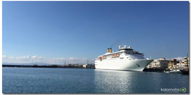
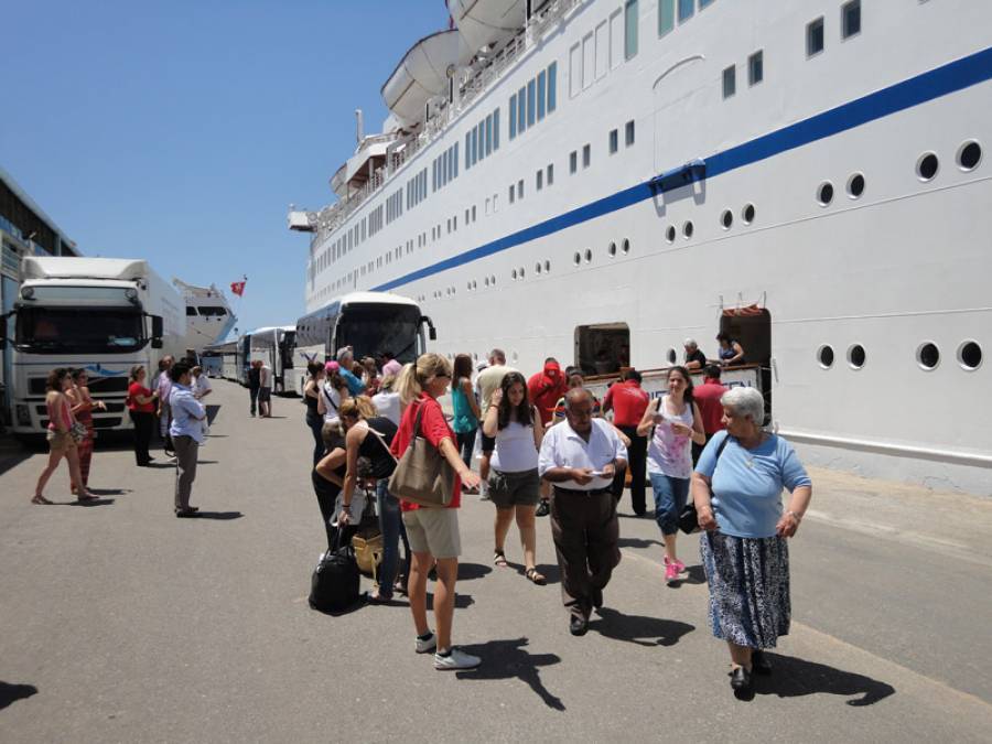
The port fully complies with the European and International Safety Standards as well as the International Code for Ship and Port Facility Security (ISPS CODE) and has been certified to receive cruise ship and Mega Yachts.
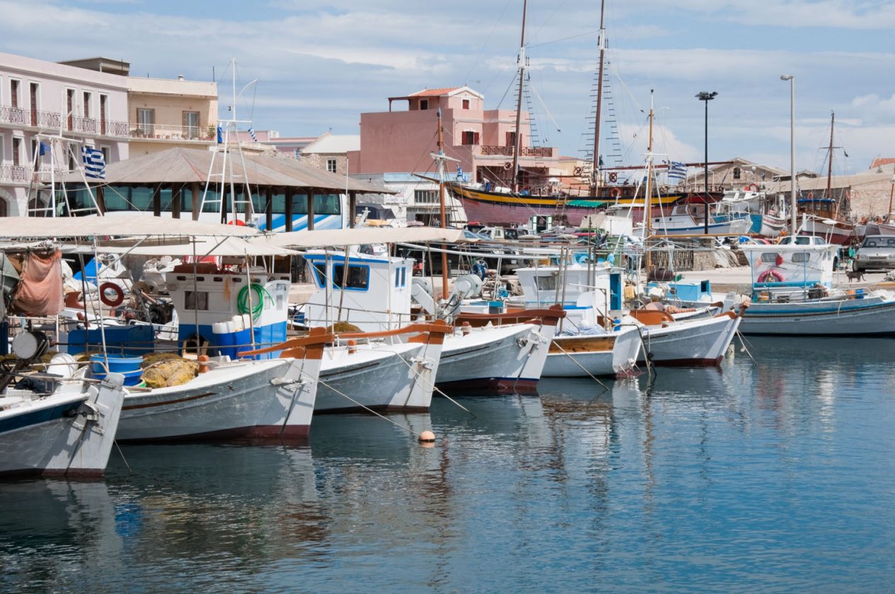
It has a modern marina with 250 berth positions up to 25 m. long and 3 m. draft, the marina is open all year round. All positions are equipped with the necessary electricity and water supplies. Inland space includes 150 boat repositories that are lifted and launched with a modern 60-tonne Travelift. The marina, in collaboration with external crews and technicians, offers complete services for the repair and maintenance of the boats.